
Skeda:Albania map modern.png
Madhësia e këtij shikimi: 600 × 600 pixel. Rezolucione të tjera: 240 × 240 pixel | 480 × 480 pixel | 768 × 768 pixel | 1.024 × 1.024 pixel | 1.700 × 1.700 pixel.
Dokument origjinal ((përmasa 1.700 × 1.700 px, madhësia skedës: 499 KB, lloji MIME: image/png))
| Kjo skedë është prej Wikimedia Commons dhe mund të përdoret nga projekte të tjera. Përshkrimi në këtë skedë në këtë faqe nuk është treguar më poshtë. | Shko tek faqja përshkruese në Commons |
Përmbledhje
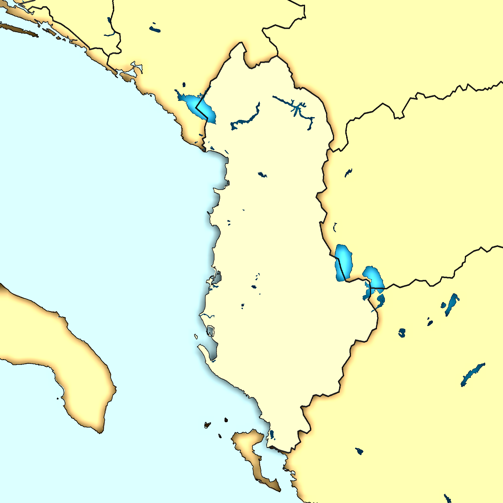
| Përshkrimi | A blank map of Albania (modern style) with most important topographic features (lakes, rivers) |
| Data | |
| Burimi |
|
| Autori | Minestrone |
Licencim
This image is in the public domain because it came from the site https://www.demis.nl/products/web-map-server/examples/ and was released by the copyright holder. Permission is granted to copy, distribute and/or modify this map since it is based on free of copyright images from: www.demis.nl. See also approval email on de.wp and its clarification.
|
| This work has been released into the public domain by its copyright holder, www.demis.nl. This applies worldwide. Në disa vende kjo mund të mos jetë e mundur ligjërisht; nëse është kështu: www.demis.nl i garanton çdokujt të drejtën për ta përdorur këtë punë për çdo qëllim, pa asnjë kusht, përveç rasteve kur këto kushte janë të kërkuara nga ligji.
|
This work is based on a work in the public domain. It has been digitally enhanced and/or modified. This derivative work has been (or is hereby) released into the public domain by its author, Minestrone. This applies worldwide.
In some countries this may not be legally possible; if so: |
Kjo skedë është dhënë për përdorim sipas licensës Creative Commons Attribution 2.5 Generic.
- Je i lirë të:
- ta shpërndani – ta kopjoni, rishpërndani dhe përcillni punën
- t’i bëni “remix” – të përshtatni punën
- Sipas kushteve të mëposhtme:
- atribuim – Duhet t’i jepni meritat e duhura, të siguroni një lidhje për tek licenca dhe të tregoni nëse janë bërë ndryshime. Këtë mund ta bëni në ndonjë mënyrë të arsyeshme, por jo në ndonjë mënyrë që sugjeron se licencuesi ju del zot juve apo përdorimit tuaj.
Historiku skedës
Shtypni mbi një datë/kohë për ta parë skedën siç ishte atëherë.
| Data/Koha | Miniaturë | Përmasat | Përdoruesi | Koment | |
|---|---|---|---|---|---|
| e tanishme | 4 janar 2007 11:43 | | 1.700 × 1.700 (499 KB) | Minestrone | {{Information| |Description=A blank map of Albania (modern style) with most important topographic features (lakes, rivers) |Source=40px, Reference map provided by Demis Mapper 6, enhanced using Corel Photo-Paint 12 |Dat |
| 3 janar 2007 19:26 |  | 1.700 × 1.700 (499 KB) | Minestrone | Larger and more detailed map | |
| 19 dhjetor 2006 19:38 |  | 325 × 350 (70 KB) | Minestrone | {{Information| |Description=A blank map of Albania |Source=Reference map: Image:Albaniamap.PNG, enhanced using Corel PhotoPaint 12 |Date=2006-12-19 |Author=Minestrone |Permission=See below |other_versions= }} |
Lidhje skedash
Këto faqe lidhen tek kjo skedë:
Përdorimi global i skedës
Kjo skedë përdoret nga Wiki të tjera në vijim:
- Përdorimi në de.wikipedia.org
- Përdorimi në incubator.wikimedia.org
- Përdorimi në ja.wikibooks.org