
Skeda:Leidschendam-voorburg-leidschendam.PNG

Madhësia e këtij shikimi: 800 × 511 pixel. Rezolucione të tjera: 320 × 204 pixel | 640 × 409 pixel | 839 × 536 pixel.
Dokument origjinal ((përmasa 839 × 536 px, madhësia skedës: 19 KB, lloji MIME: image/png))
| Kjo skedë është prej Wikimedia Commons dhe mund të përdoret nga projekte të tjera. Përshkrimi në këtë skedë në këtë faqe nuk është treguar më poshtë. | Shko tek faqja përshkruese në Commons |
| Përshkrimi | |
| Data | 3 dhjetor 2006 (original upload date) |
| Burimi | Transferred from nl.wikipedia to Commons. |
| Autori | The original uploader was Michiel1972 at holandisht Wikipedia. |
| Leja (Ripërdor këtë skedë) |
STATISTICS NETHERLANDS MAP. |
Licencim

|
Krijuesi i kësaj skede, Centraal Bureau voor de Statistiek, lejon këdo ta përdorë për çdo qëllim, me kusht që krijuesi është i atribuar si duhet. Rishpërndarja, puna derivative, përdorimi komercial, dhe të gjitha përdorimet janë të lejuara. |
Atribuim:
|
Regjistri origjinal i ngarkimeve
The original description page was here. All following user names refer to nl.wikipedia.
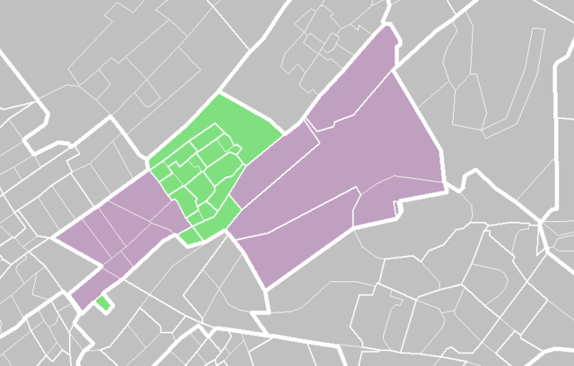
- 2006-12-03 07:14 Hanhil 839×536× (19700 bytes) De wijk [[Park Leeuwenbergh]] hoort ook bij Leidschendam. Aanpassing van de kaart van Michiel1972 {{CBS-wijkkaart}}
- 2006-12-03 07:12 Hanhil 839×536× (19700 bytes) {{CBS-wijkkaart}} De wijk [[Park Leeuwenbergh]] hoort ook bij Leidschendam Aanpassing van de kaart van Michiel1972
- 2006-03-18 16:55 Michiel1972 839×536× (29077 bytes) {{CBS-wijkkaart}}
Historiku skedës
Shtypni mbi një datë/kohë për ta parë skedën siç ishte atëherë.
| Data/Koha | Miniaturë | Përmasat | Përdoruesi | Koment | |
|---|---|---|---|---|---|
| e tanishme | 13 shkurt 2009 15:36 | | 839 × 536 (19 KB) | BotMultichill | {{BotMoveToCommons|nl.wikipedia}} {{Information |Description={{nl|''no original description''}} |Source=Transferred from [http://nl.wikipedia.org nl.wikipedia] |Date=2006-12-03 (first version); 2006-03-18 (last version) |Author=Original uploader was [[: |
Lidhje skedash
S’ka faqe që përdorin këtë kartelë.
Përdorimi global i skedës
Kjo skedë përdoret nga Wiki të tjera në vijim:
- Përdorimi në arz.wikipedia.org
- Përdorimi në ca.wikipedia.org
- Përdorimi në it.wikipedia.org
- Përdorimi në nl.wikipedia.org
- Përdorimi në uk.wikipedia.org
- Përdorimi në vo.wikipedia.org
- Përdorimi në www.wikidata.org
- Përdorimi në zh-min-nan.wikipedia.org