
Skeda:World map frigid.svg

Size of this PNG preview of this SVG file: 800 × 447 pixel. Rezolucione të tjera: 320 × 179 pixel | 640 × 358 pixel | 1.024 × 572 pixel | 1.280 × 715 pixel | 2.560 × 1.430 pixel | 2.753 × 1.538 pixel.
Dokument origjinal (skedë SVG, fillimisht 2.753 × 1.538 pixel, madhësia e skedës: 2,19 MB)
| Kjo skedë është prej Wikimedia Commons dhe mund të përdoret nga projekte të tjera. Përshkrimi në këtë skedë në këtë faqe nuk është treguar më poshtë. | Shko tek faqja përshkruese në Commons |
Përmbledhje
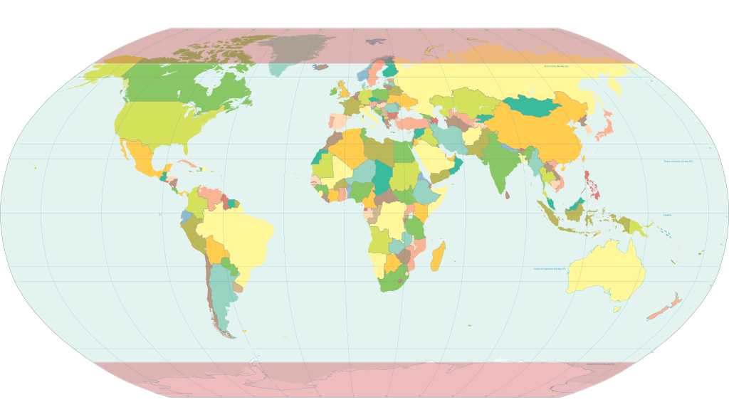
World map with the frigid zones highlighted. Derived via Inkscape from Image:World map pol 2005 v02.svg, which is itself public domain.
Licencim
This work is in the public domain in the United States because it is a work prepared by an officer or employee of the United States Government as part of that person’s official duties under the terms of Title 17, Chapter 1, Section 105 of the US Code.
Note: This only applies to original works of the Federal Government and not to the work of any individual U.S. state, territory, commonwealth, county, municipality, or any other subdivision. This template also does not apply to postage stamp designs published by the United States Postal Service since 1978. (See § 313.6(C)(1) of Compendium of U.S. Copyright Office Practices). It also does not apply to certain US coins; see The US Mint Terms of Use.
|
 | |
| Kjo skedë është identifikuar si e lirë e kufizimeve të panjohura në ligjin e të drejtave të autorit, duke përfshirë të gjitha të drejtat e lidhura dhe fqinje. | ||
Historiku skedës
Shtypni mbi një datë/kohë për ta parë skedën siç ishte atëherë.
| Data/Koha | Miniaturë | Përmasat | Përdoruesi | Koment | |
|---|---|---|---|---|---|
| e tanishme | 25 korrik 2020 17:27 | | 2.753 × 1.538 (2,19 MB) | Hogweard | South Sudan border |
| 13 shkurt 2007 20:11 |  | 2.753 × 1.538 (2,55 MB) | HorsePunchKid | World map with the frigid zones highlighted. Derived via Inkscape from Image:World map pol 2005 v02.svg, which is itself public domain. |
Lidhje skedash
Këto faqe lidhen tek kjo skedë:
Përdorimi global i skedës
Kjo skedë përdoret nga Wiki të tjera në vijim:
- Përdorimi në bn.wikipedia.org
- Përdorimi në ca.wikipedia.org
- Përdorimi në en.wikipedia.org
- Përdorimi në eo.wikipedia.org
- Përdorimi në et.wikipedia.org
- Përdorimi në fr.wiktionary.org
- Përdorimi në hi.wikipedia.org
- Përdorimi në ilo.wikipedia.org
- Përdorimi në nn.wikipedia.org
- Përdorimi në pa.wikipedia.org