
Skeda:Catalonia location map.svg

Size of this PNG preview of this SVG file: 668 × 600 pixel. Rezolucione të tjera: 267 × 240 pixel | 535 × 480 pixel | 856 × 768 pixel | 1.141 × 1.024 pixel | 2.281 × 2.048 pixel | 2.786 × 2.501 pixel.
Dokument origjinal (skedë SVG, fillimisht 2.786 × 2.501 pixel, madhësia e skedës: 264 KB)
| Kjo skedë është prej Wikimedia Commons dhe mund të përdoret nga projekte të tjera. Përshkrimi në këtë skedë në këtë faqe nuk është treguar më poshtë. | Shko tek faqja përshkruese në Commons |
| Përshkrimi |
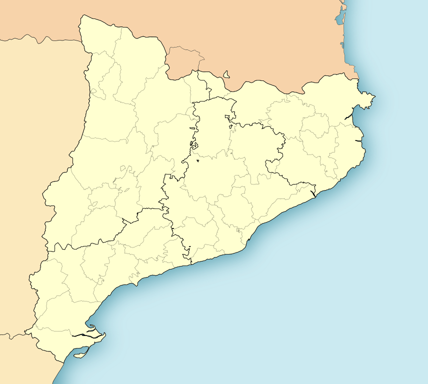
Català: Mapa de localització de Catalunya. Projecció equirrectangular, N/S estirada 130%. Límits geogràfics del mapa: * N: 42.99° N * S: 40.405° N * W: 0.55° O * E: 4.02° O. La divisió comarcal compren les 41 comarques abans de la institució de la comarca del Moianès el 2015.
English: Location map of Catalonia. Equirectangular projection, N/S stretching 130 %. Geographic limits of the map: * N: 42.99° N * S: 40.405° N * W: 0.55° O * E: 4.02° O
Español: Mapa de localización de Cataluña. Proyección equirrectangular, N/S estirada 130 %. Límites geográficos del mapa: * N: 42.99° N * S: 40.405° N * W: 0.55° O * E: 4.02° O
Français : Carte de localisation de la Catalogne, Espagne. Projection cylindrique équidistante. 42.99° N, -0.55° O, 4.02° E, 40.405° S. Centre : 41,6975, 1.735. |
||
| Data | (UTC) | ||
| Burimi | |||
| Autori |
|
||
| Leja (Ripërdor këtë skedë) |
Unë, krijuesi i kësaj pune, e publikoj këtu në bazë të licensës në vijim:
|
||
| Versione tjera |
Derivative works of this file: Mapa Sender GR 2.png |
| This is a retouched picture, which means that it has been digitally altered from its original version. Modifications: harmonisation couleur. The original can be viewed here: CatalunyaLoc.svg:
|
Regjistri origjinal i ngarkimeve
This image is a derivative work of the following images:
- File:CatalunyaLoc.svg licensed with PD-self
- 2008-04-27T09:34:23Z HansenBCN 3300x2500 (466651 Bytes) Sombreado de agua descentrado y borde superior eliminado
- 2008-04-26T14:38:41Z HansenBCN 3300x2500 (463617 Bytes) Bordes
- 2008-04-26T14:32:01Z HansenBCN 3300x2500 (463380 Bytes) == Summary == {{Information |Description=Catalonia Location Map |Source=self-made |Date=26/april/2008 |Author= [[User:HansenBCN|HansenBCN]] |Permission= |other_versions=[Image:CatalunyaLoc.png|50px] }} == [[Commons:Copyright
Uploaded with derivativeFX
Historiku skedës
Shtypni mbi një datë/kohë për ta parë skedën siç ishte atëherë.
| Data/Koha | Miniaturë | Përmasat | Përdoruesi | Koment | |
|---|---|---|---|---|---|
| e tanishme | 17 nëntor 2021 14:49 | | 2.786 × 2.501 (264 KB) | Jmarchn | better framing |
| 19 maj 2010 13:24 |  | 3.300 × 2.500 (345 KB) | Miguillen | color borde frontera | |
| 19 maj 2010 13:18 |  | 3.300 × 2.500 (337 KB) | Miguillen | recuadro y bordes de costa | |
| 17 maj 2010 17:53 |  | 3.300 × 2.500 (311 KB) | Xfigpower | {{Information |Description={{ca|Mapa de localització de Catalunya}} Projecció equirrectangular, N/S estirada 130%. Límits geogràfics del mapa: * N: 42.99° N * S: 40.405° N * W: 0.55° O * E: 4.02° O {{en|Location map of [[:e |
Lidhje skedash
Këto faqe lidhen tek kjo skedë:
Përdorimi global i skedës
Kjo skedë përdoret nga Wiki të tjera në vijim:
- Përdorimi në ar.wikipedia.org
- Përdorimi në arz.wikipedia.org
- Përdorimi në ast.wikipedia.org
- Përdorimi në azb.wikipedia.org
- لریدا
- ال مری
- لا پبلا د مافومت
- پرادس
- لا آلدئا
- بیلانبا د پرادس
- منت-رال
- توریو
- تابرتت
- ساوس، کامایرا و یامپایس
- کالدس د مالابیا
- مونتانیلا
- لوسپیتالد د یوبروات
- لا آمپیا
- ال پرات د یبرقات
- آمپستا
- ریبا-رخا د ابره
- یوسا
- منتملو
- پاسسانانت
- برقا
- آسکو
- سانت خاومه د انبخا
- بایفقنا د ریوکرب
- سانتا ماریا د کرکو
- ریپی
- لا سو دورجل
- تاراقونا
- سانتا کلما د کرالت
- ردا د بارا
- لا پبلا د منترنس
- تسسا د مار
- دلتبره
- ریوداورا
- سانتا کلما د قرامنت
- لا پبلا د ماسسالوکا
- هرتا د سانت خئان
- آلتافویا
- پنتیلس
- تردمبارا
- یرت د مار
- کابرا دل کامپ
- اویاسترت
Shikoni më shumë përdorim global të kësaj skede.