
Skeda:Great Britain 1789.svg

Size of this PNG preview of this SVG file: 450 × 456 pixel. Rezolucione të tjera: 237 × 240 pixel | 474 × 480 pixel | 758 × 768 pixel | 1.011 × 1.024 pixel | 2.021 × 2.048 pixel.
Dokument origjinal (skedë SVG, fillimisht 450 × 456 pixel, madhësia e skedës: 848 KB)
| Kjo skedë është prej Wikimedia Commons dhe mund të përdoret nga projekte të tjera. Përshkrimi në këtë skedë në këtë faqe nuk është treguar më poshtë. | Shko tek faqja përshkruese në Commons |
Përmbledhje


.svg)
.svg)
.svg)
.svg)
.svg)


.svg)
.svg)
.svg)


.png)
.png)


.svg)


.svg)

.svg)


.svg)
.svg)
.svg)
.svg)


.svg)
.png)


.svg)


.svg)
.svg)


.svg)


.svg)


.svg)
.svg)
.svg)
.svg)
.svg)
.svg)
.svg)
_cropped.svg)
.svg)
.svg)
.svg)
.svg)
.svg)
.svg)
.svg)
.svg)
.svg)
.svg)
.svg)
.svg)
.svg)
.svg)
.svg)
.svg)
.svg)
.svg)
.svg)
.svg)
.svg)
.svg)
.svg)
.svg)
.svg)
.svg)
.svg)
.svg)
.svg)
.svg)
.svg)
.svg)
.svg)
.svg)
.svg)
.svg)
.svg)
.svg)
.svg)
.svg)
.svg)
.svg)
.svg)
.svg)
.svg)
Licencim
Unë, krijuesi i kësaj pune, e publikoj këtu në bazë të licensës në vijim:
Kjo skedë licencohet sipas Creative Commons Attribution-Share Alike 3.0 Unported.
- Je i lirë të:
- ta shpërndani – ta kopjoni, rishpërndani dhe përcillni punën
- t’i bëni “remix” – të përshtatni punën
- Sipas kushteve të mëposhtme:
- atribuim – Duhet t’i jepni meritat e duhura, të siguroni një lidhje për tek licenca dhe të tregoni nëse janë bërë ndryshime. Këtë mund ta bëni në ndonjë mënyrë të arsyeshme, por jo në ndonjë mënyrë që sugjeron se licencuesi ju del zot juve apo përdorimit tuaj.
- share alike – Nëse bëni një “remix”, e shndërroni, ose ndërtoni duke u bazuar te materiali, duhet t’i shpërndani kontributet tuaja sipas të njëjtës licencë ose një të tille të përputhshme me origjinalen.
Regjistri origjinal i ngarkimeve
This image is a derivative work of the following images:
- File:Europe_1789.svg licensed with Cc-by-sa-3.0
- 2013-04-14T03:44:26Z Alphathon 450x456 (858577 Bytes) Corrected some errors in northern Italy
- 2013-04-14T01:38:01Z Alphathon 450x456 (853881 Bytes) tweaked again
- 2013-04-14T01:36:10Z Alphathon 450x456 (853881 Bytes) Tweaked Holy Roman Empire border style
- 2013-04-14T01:33:26Z Alphathon 450x456 (853857 Bytes) == {{int:filedesc}} == {{Information |Description={{en|A blank Map of Europe circa 1789. This map also includes a border for the [[:en:Holy Roman Empire|Holy Roman Empire]]. Since there are so many small German states, they h
Uploaded with derivativeFX
Historiku skedës
Shtypni mbi një datë/kohë për ta parë skedën siç ishte atëherë.
| Data/Koha | Miniaturë | Përmasat | Përdoruesi | Koment | |
|---|---|---|---|---|---|
| e tanishme | 19 dhjetor 2023 18:42 | | 450 × 456 (848 KB) | Iktsokh | Cyprus paler grey |
| 26 maj 2022 13:17 |  | 450 × 456 (846 KB) | Cyygma | Changing pale green to light green (more visible) | |
| 17 tetor 2021 10:08 |  | 450 × 456 (846 KB) | Fenn-O-maniC | Fixed the Russo-Swedish border to match the Treaty of Åbo of 1743 | |
| 5 shtator 2017 18:20 |  | 450 × 456 (857 KB) | Alphathon | Danzig | |
| 5 shtator 2017 17:55 |  | 450 × 456 (840 KB) | Alphathon | Added Brunswick-Lüneburg to British domains as it was rules in a personal union | |
| 5 shtator 2017 17:45 |  | 450 × 456 (840 KB) | Alphathon | Made Asia paler grey | |
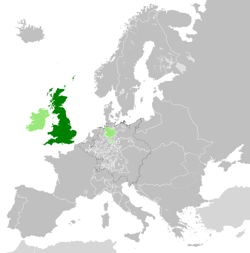
| 5 shtator 2017 17:34 |  | 450 × 456 (840 KB) | Alphathon | == {{int:filedesc}} == {{Information |Description={{en|A map of the en:Kingdom of Great Britain circa 1789. Other British-held territories (Ireland, Mann, Channel Islands) are also shown in pale green.}}{{de|Eine Karte des [[:de:Königreich Groß... |
Lidhje skedash
Këto faqe lidhen tek kjo skedë:
Përdorimi global i skedës
Kjo skedë përdoret nga Wiki të tjera në vijim:
- Përdorimi në azb.wikipedia.org
- Përdorimi në bn.wikipedia.org
- Përdorimi në cs.wikipedia.org
- Përdorimi në da.wikipedia.org
- Përdorimi në de.wikipedia.org
- Përdorimi në el.wikipedia.org
- Përdorimi në en.wikipedia.org
- Përdorimi në es.wikipedia.org
- Përdorimi në eu.wikipedia.org
- Përdorimi në fi.wikipedia.org
- Përdorimi në fr.wikipedia.org
- Përdorimi në fy.wikipedia.org
- Përdorimi në gv.wikipedia.org
- Përdorimi në he.wikipedia.org
- Përdorimi në id.wikipedia.org
- Përdorimi në it.wikipedia.org
- Përdorimi në ja.wikipedia.org
- Përdorimi në ko.wikipedia.org
- Përdorimi në lo.wikipedia.org
- Përdorimi në lv.wikipedia.org
- Përdorimi në pt.wikipedia.org
- Përdorimi në sco.wikipedia.org
- Përdorimi në sk.wikipedia.org
- Përdorimi në sl.wikipedia.org
- Përdorimi në th.wikipedia.org
- Përdorimi në tr.wikipedia.org
- Përdorimi në vi.wikipedia.org
- Përdorimi në xmf.wikipedia.org
- Përdorimi në zh.wikipedia.org