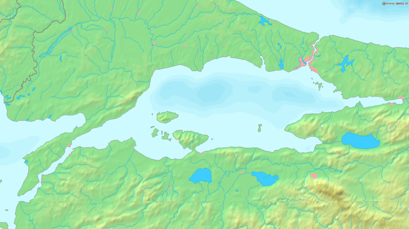
Skeda:Sea of Marmara map.png

Madhësia e këtij shikimi: 800 × 448 pixel. Rezolucione të tjera: 320 × 179 pixel | 640 × 358 pixel | 1.336 × 748 pixel.
Dokument origjinal ((përmasa 1.336 × 748 px, madhësia skedës: 334 KB, lloji MIME: image/png))
Historiku skedës
Shtypni mbi një datë/kohë për ta parë skedën siç ishte atëherë.
| Data/Koha | Miniaturë | Përmasat | Përdoruesi | Koment | |
|---|---|---|---|---|---|
| e tanishme | 6 shtator 2005 19:37 |  | 1.336 × 748 (334 KB) | Mats Halldin~commonswiki | Map of the Sea of Marmara Bounding box West 26°, South 39.8°, East 30°, North 41.5°. {{demis-pd}} Category:Maps of Turkey |
Lidhje skedash
Këto faqe lidhen tek kjo skedë:
Përdorimi global i skedës
Kjo skedë përdoret nga Wiki të tjera në vijim:
- Përdorimi në af.wikipedia.org
- Përdorimi në am.wikipedia.org
- Përdorimi në ang.wikipedia.org
- Përdorimi në ar.wikipedia.org
- Përdorimi në azb.wikipedia.org
- Përdorimi në az.wikipedia.org
- Përdorimi në ba.wikipedia.org
- Përdorimi në br.wikipedia.org
- Përdorimi në bs.wikipedia.org
- Përdorimi në ca.wikipedia.org
- Përdorimi në ce.wikipedia.org
- Përdorimi në ckb.wikipedia.org
- Përdorimi në cs.wikipedia.org
- Përdorimi në cv.wikipedia.org
- Përdorimi në cy.wikipedia.org
- Përdorimi në da.wikipedia.org
- Përdorimi në de.wikipedia.org
- Përdorimi në diq.wikipedia.org
- Përdorimi në dsb.wikipedia.org
- Përdorimi në el.wikipedia.org
- Përdorimi në el.wiktionary.org
- Përdorimi në en.wikipedia.org
- Përdorimi në en.wiktionary.org
- Përdorimi në eo.wikipedia.org
- Përdorimi në es.wikipedia.org
- Përdorimi në et.wikipedia.org
- Përdorimi në fa.wikipedia.org
- Përdorimi në fi.wikipedia.org
- Përdorimi në fr.wikipedia.org
Shikoni më shumë përdorim global të kësaj skede.
