
Skeda:Counties of Arkansas NA.png

Madhësia e këtij shikimi: 775 × 599 pixel. Rezolucione të tjera: 310 × 240 pixel | 621 × 480 pixel | 993 × 768 pixel | 1.280 × 990 pixel | 1.594 × 1.233 pixel.
Dokument origjinal ((përmasa 1.594 × 1.233 px, madhësia skedës: 322 KB, lloji MIME: image/png))
| Kjo skedë është prej Wikimedia Commons dhe mund të përdoret nga projekte të tjera. Përshkrimi në këtë skedë në këtë faqe nuk është treguar më poshtë. | Shko tek faqja përshkruese në Commons |
Përmbledhje
| Përshkrimi | |
| Data | |
| Burimi | |
| Autori | National Atlas of the United States |
| Leja (Ripërdor këtë skedë) |
Public domain |
Licencim
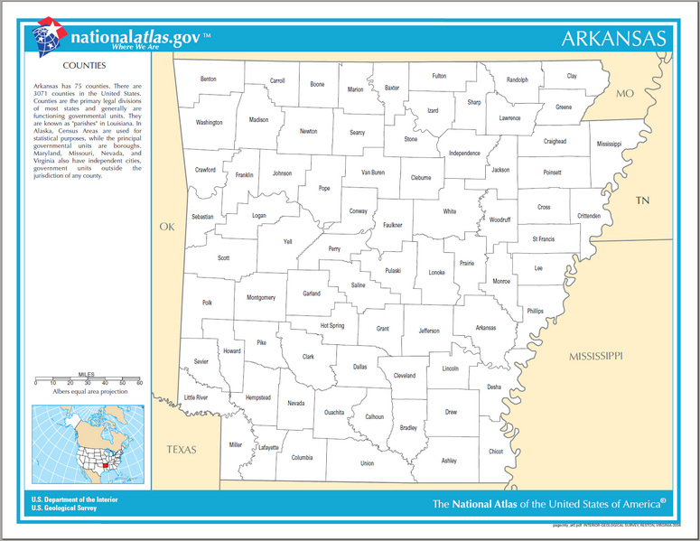
This map was obtained from an edition of the National Atlas of the United States. Like almost all works of the U.S. federal government, works from the National Atlas are in the public domain in the United States.
Online access: NationalAtlas.gov | 1970 print edition: Library of Congress, Perry-Castañeda Library
|
Historiku skedës
Shtypni mbi një datë/kohë për ta parë skedën siç ishte atëherë.
| Data/Koha | Miniaturë | Përmasat | Përdoruesi | Koment | |
|---|---|---|---|---|---|
| e tanishme | 3 maj 2007 19:53 | | 1.594 × 1.233 (322 KB) | Huebi~commonswiki | {{Information| |Description=Counties of Arkansas |Source=[http://www.nationalatlas.gov National Atlas] }} Category:Maps of Arkansas {{PD-USGov-Atlas}} |
Lidhje skedash
Këto faqe lidhen tek kjo skedë: