
Skeda:Locator map of Mamoudzou 2018.png
Madhësia e këtij shikimi: 480 × 599 pixel. Rezolucione të tjera: 192 × 240 pixel | 384 × 480 pixel | 615 × 768 pixel | 820 × 1.024 pixel | 1.640 × 2.048 pixel | 3.500 × 4.371 pixel.
Dokument origjinal ((përmasa 3.500 × 4.371 px, madhësia skedës: 697 KB, lloji MIME: image/png))
| Kjo skedë është prej Wikimedia Commons dhe mund të përdoret nga projekte të tjera. Përshkrimi në këtë skedë në këtë faqe nuk është treguar më poshtë. | Shko tek faqja përshkruese në Commons |
Përmbledhje
| Përshkrimi |
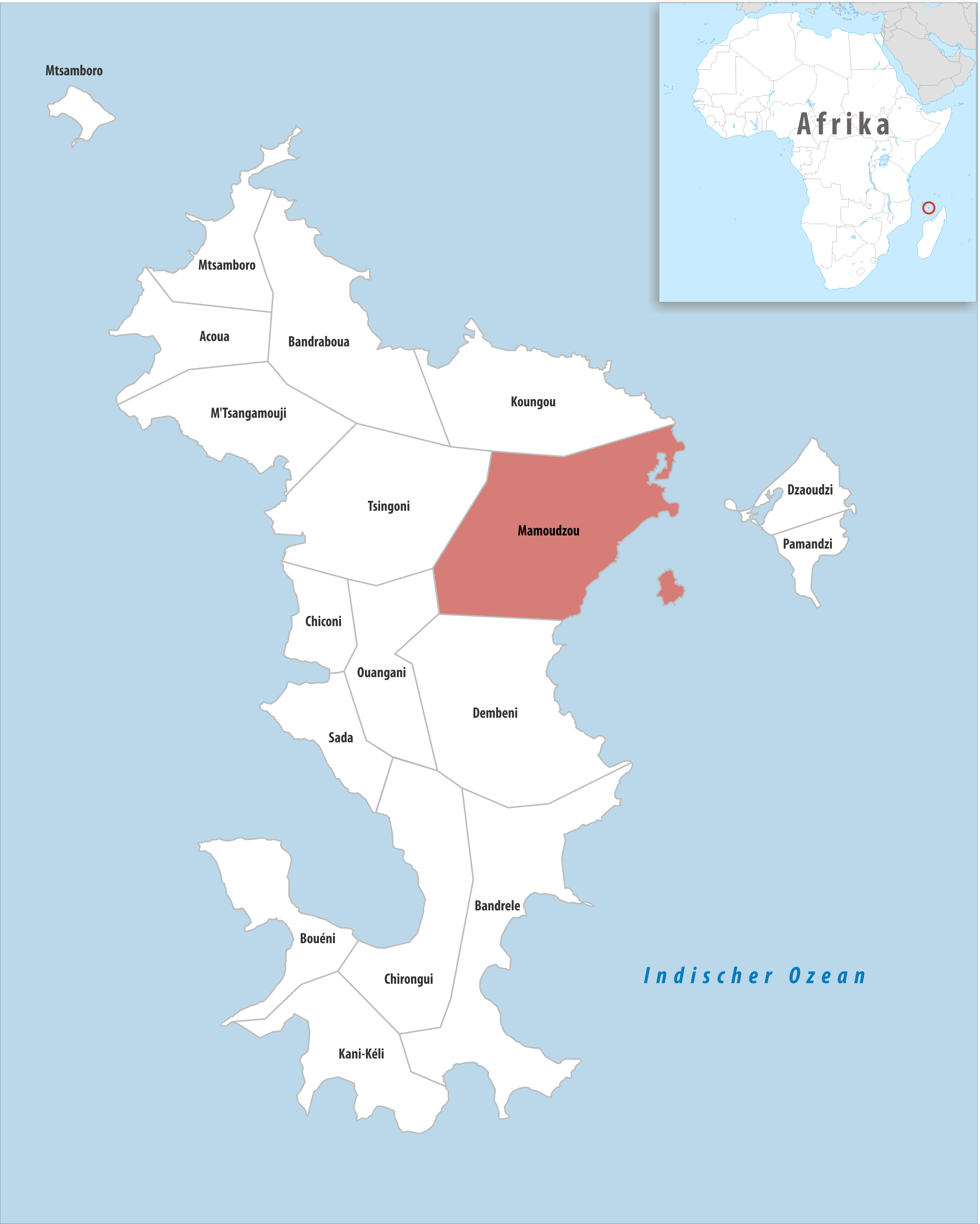
Deutsch: Lage der Gemeinde Mamoudzou |
||||||||
| Data | |||||||||
| Burimi | Punë e juaja | ||||||||
| Autori | Tschubby | ||||||||
| Leja (Ripërdor këtë skedë) |
Unë, krijuesi i kësaj pune, e publikoj këtu në bazë të licensës në vijim:
Kjo skedë është dhënë për përdorim sipas licensës Creative Commons Attribution-Share Alike 2.5 Generic, 2.0 Generic dhe 1.0 Generic.
Mundeni të përzgjidhni licencën që doni. |

Historiku skedës
Shtypni mbi një datë/kohë për ta parë skedën siç ishte atëherë.
| Data/Koha | Miniaturë | Përmasat | Përdoruesi | Koment | |
|---|---|---|---|---|---|
| e tanishme | 4 nëntor 2018 10:08 | | 3.500 × 4.371 (697 KB) | Tschubby | == {{int:filedesc}} == {{Information |Description= {{de|Lage der Gemeinde Mamoudzou}} |Source={{own}} |Date= 2018-01-01 |Author= Tschubby |Permission= {{self|GFDL|Cc-by-sa-3.0-migrated|Cc-by-sa-2.5,2.0,1.0}} |other_versions= }} Mamoudzou |
Lidhje skedash
Këto faqe lidhen tek kjo skedë:
Përdorimi global i skedës
Kjo skedë përdoret nga Wiki të tjera në vijim: