
Skeda:Zabriskies Point panoramique2016.jpg

Madhësia e këtij shikimi: 800 × 269 pixel. Rezolucione të tjera: 320 × 108 pixel | 640 × 215 pixel | 1.024 × 344 pixel | 1.280 × 430 pixel | 2.560 × 861 pixel | 9.046 × 3.041 pixel.
Dokument origjinal ((përmasa 9.046 × 3.041 px, madhësia skedës: 19,74 MB, lloji MIME: image/jpeg))
| Kjo skedë është prej Wikimedia Commons dhe mund të përdoret nga projekte të tjera. Përshkrimi në këtë skedë në këtë faqe nuk është treguar më poshtë. | Shko tek faqja përshkruese në Commons |
Përmbledhje
| Përshkrimi |
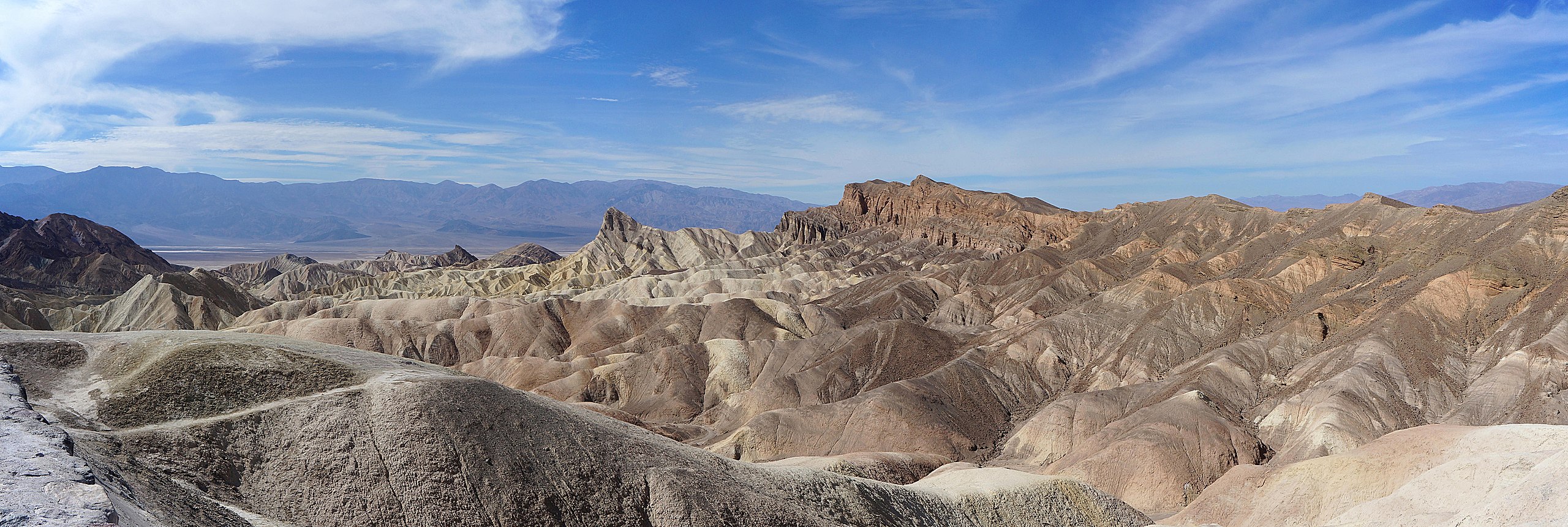
English: Zabriskie Point in Death Valley California. |
||||||||||||||||||||
| Data | Taken on 13 tetor 2016, 21:26:18 | ||||||||||||||||||||
| Burimi | Punë e juaja | ||||||||||||||||||||
| Autori |
|
||||||||||||||||||||
| Leja (Ripërdor këtë skedë) |
|
||||||||||||||||||||
.jpg)

| Camera location | | View this and other nearby images on: OpenStreetMap |
|---|
Assessment
|
Licencim
Unë, krijuesi i kësaj pune, e publikoj këtu në bazë të licensës në vijim:

|
Ju jepet leje për ta kopjuar, shpërndarë dhe/ose ndryshuar këtë dokument sipas kushteve të Licencës GNU për Dokumentim të Lirë, versioni 1.2 ose çfarëdo versioni të mëpasshëm të botuar nga Free Software Foundation; pa Seksione të Pandryshueshme, pa Tekste Kapakësh të Përparmë, dhe pa Tekste Kapakësh të Pasmë. Një kopje e kësaj licence është përfshirë në seksionin e titulluar GNU Free Documentation License. |
This file is licensed under the Creative Commons Attribution-Share Alike Attribution-Share Alike 4.0 International, 3.0 Unported, 2.5 Generic, 2.0 Generic and 1.0 Generic license.
- Je i lirë të:
- ta shpërndani – ta kopjoni, rishpërndani dhe përcillni punën
- t’i bëni “remix” – të përshtatni punën
- Sipas kushteve të mëposhtme:
- atribuim – Duhet t’i jepni meritat e duhura, të siguroni një lidhje për tek licenca dhe të tregoni nëse janë bërë ndryshime. Këtë mund ta bëni në ndonjë mënyrë të arsyeshme, por jo në ndonjë mënyrë që sugjeron se licencuesi ju del zot juve apo përdorimit tuaj.
- share alike – Nëse bëni një “remix”, e shndërroni, ose ndërtoni duke u bazuar te materiali, duhet t’i shpërndani kontributet tuaja sipas të njëjtës licencë ose një të tille të përputhshme me origjinalen.
Mundeni të përzgjidhni licencën që doni.
Historiku skedës
Shtypni mbi një datë/kohë për ta parë skedën siç ishte atëherë.
| Data/Koha | Miniaturë | Përmasat | Përdoruesi | Koment | |
|---|---|---|---|---|---|
| e tanishme | 8 gusht 2018 21:15 | 9.046 × 3.041 (19,74 MB) | Pierre André Leclercq | done a bit sharperness | |
| 7 gusht 2018 23:05 | 9.046 × 3.041 (14,94 MB) | Pierre André Leclercq | I've removed dust spots in various parts of the photo, though especially the right half | ||
| 22 tetor 2016 11:23 | 9.046 × 3.041 (14,31 MB) | Pierre André Leclercq |
Lidhje skedash
S’ka faqe që përdorin këtë kartelë.
Përdorimi global i skedës
Kjo skedë përdoret nga Wiki të tjera në vijim:
- Përdorimi në de.wikipedia.org
- Përdorimi në en.wikipedia.org
- Përdorimi në fr.wikipedia.org
- Përdorimi në kw.wikipedia.org
- Përdorimi në nl.wikipedia.org