
Skeda:Chambery 1645.jpg

Dokument origjinal ((përmasa 1.407 × 1.060 px, madhësia skedës: 1,15 MB, lloji MIME: image/jpeg))
| Kjo skedë është prej Wikimedia Commons dhe mund të përdoret nga projekte të tjera. Përshkrimi në këtë skedë në këtë faqe nuk është treguar më poshtë. | Shko tek faqja përshkruese në Commons |
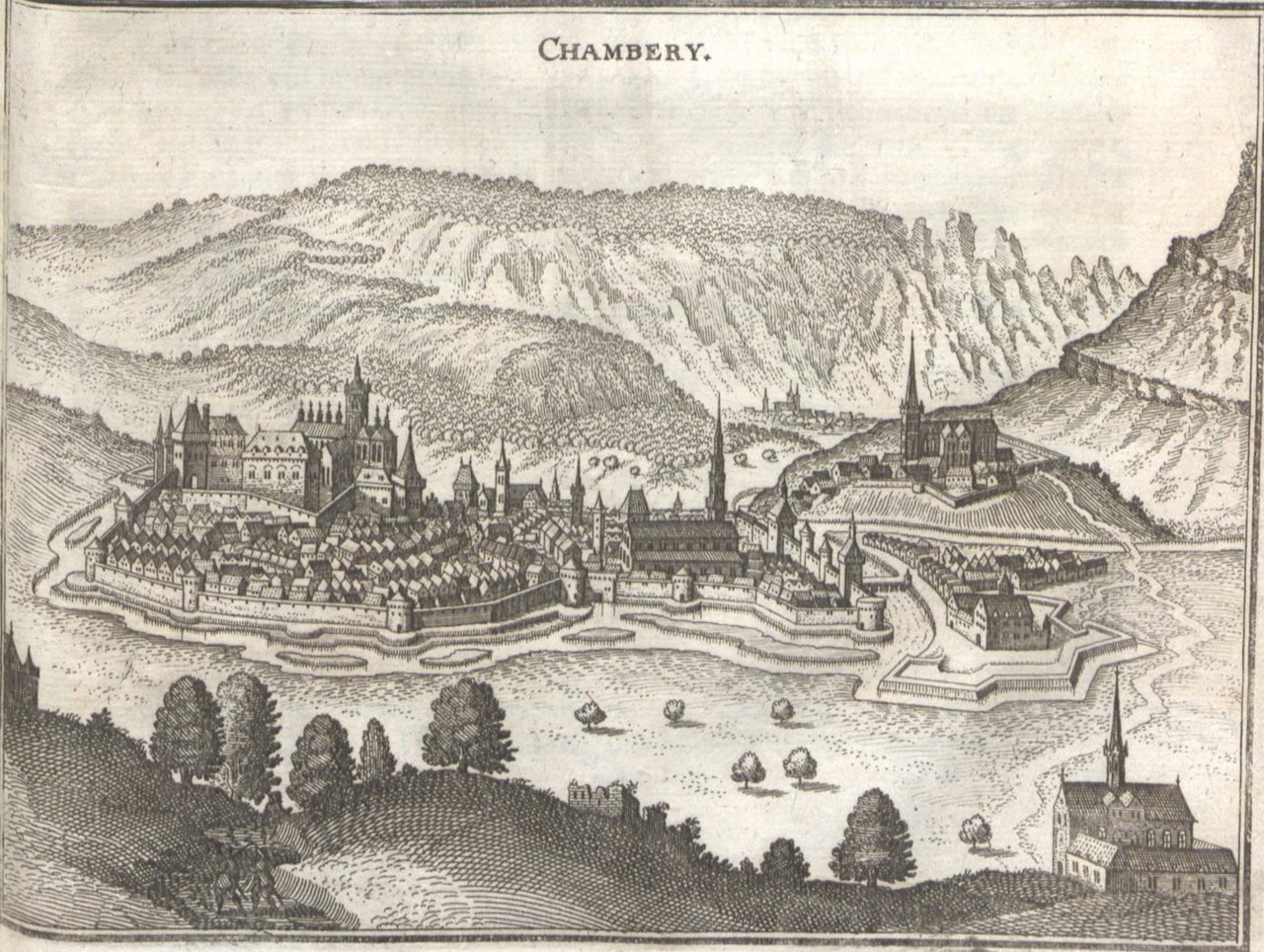
| Përshkrimi | Topographia Palatinatus Rheni et Vicinarum Regionum Das ist, Beschreibung vnd Eigentliche Abbildung der Vornemsten Statte, Plätz der Vntern Pfaltz am Rhein Vnd Benachbarten Landschafften, als der Bistümer Wormbs Vnd SpeÈyer, der Bergstraß, des Wessterreichs, Hundsrücks, ZweÈybrüggen, etc | |||||||||||||||||||||||||||||||||||
| Data | ||||||||||||||||||||||||||||||||||||
| Burimi | de:wikipedia | |||||||||||||||||||||||||||||||||||
| Autori |
|
|||||||||||||||||||||||||||||||||||
| Leja (Ripërdor këtë skedë) |
|
|||||||||||||||||||||||||||||||||||

_001.jpg)

_239.jpg)
_241.jpg)
Historiku skedës
Shtypni mbi një datë/kohë për ta parë skedën siç ishte atëherë.
| Data/Koha | Miniaturë | Përmasat | Përdoruesi | Koment | |
|---|---|---|---|---|---|
| e tanishme | 16 dhjetor 2010 12:08 | | 1.407 × 1.060 (1,15 MB) | Re probst | {{Information |Description=Topographia Palatinatus Rheni et Vicinarum Regionum Das ist, Beschreibung vnd Eigentliche Abbildung der Vornemsten Statte, Plätz der Vntern Pfaltz am Rhein Vnd Benachbarten Landschafften, als der Bistümer Wormbs Vnd SpeÈyer, |
Lidhje skedash
Këto faqe lidhen tek kjo skedë:
Përdorimi global i skedës
Kjo skedë përdoret nga Wiki të tjera në vijim:
- Përdorimi në ar.wikipedia.org
- Përdorimi në azb.wikipedia.org
- Përdorimi në cs.wikipedia.org
- Përdorimi në de.wikipedia.org
- Përdorimi në en.wikipedia.org
- Përdorimi në fr.wikipedia.org
- Përdorimi në ja.wikipedia.org
- Përdorimi në ko.wikipedia.org
- Përdorimi në pt.wikipedia.org