
Skeda:France location map-Departements 1997-2014.svg

Size of this PNG preview of this SVG file: 624 × 600 pixel. Rezolucione të tjera: 250 × 240 pixel | 499 × 480 pixel | 799 × 768 pixel | 1.066 × 1.024 pixel | 2.131 × 2.048 pixel | 2.000 × 1.922 pixel.
Dokument origjinal (skedë SVG, fillimisht 2.000 × 1.922 pixel, madhësia e skedës: 783 KB)
| Kjo skedë është prej Wikimedia Commons dhe mund të përdoret nga projekte të tjera. Përshkrimi në këtë skedë në këtë faqe nuk është treguar më poshtë. | Shko tek faqja përshkruese në Commons |
Përmbledhje
| Camera location | | View this and other nearby images on: OpenStreetMap |
|---|
| Përshkrimi |
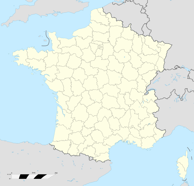
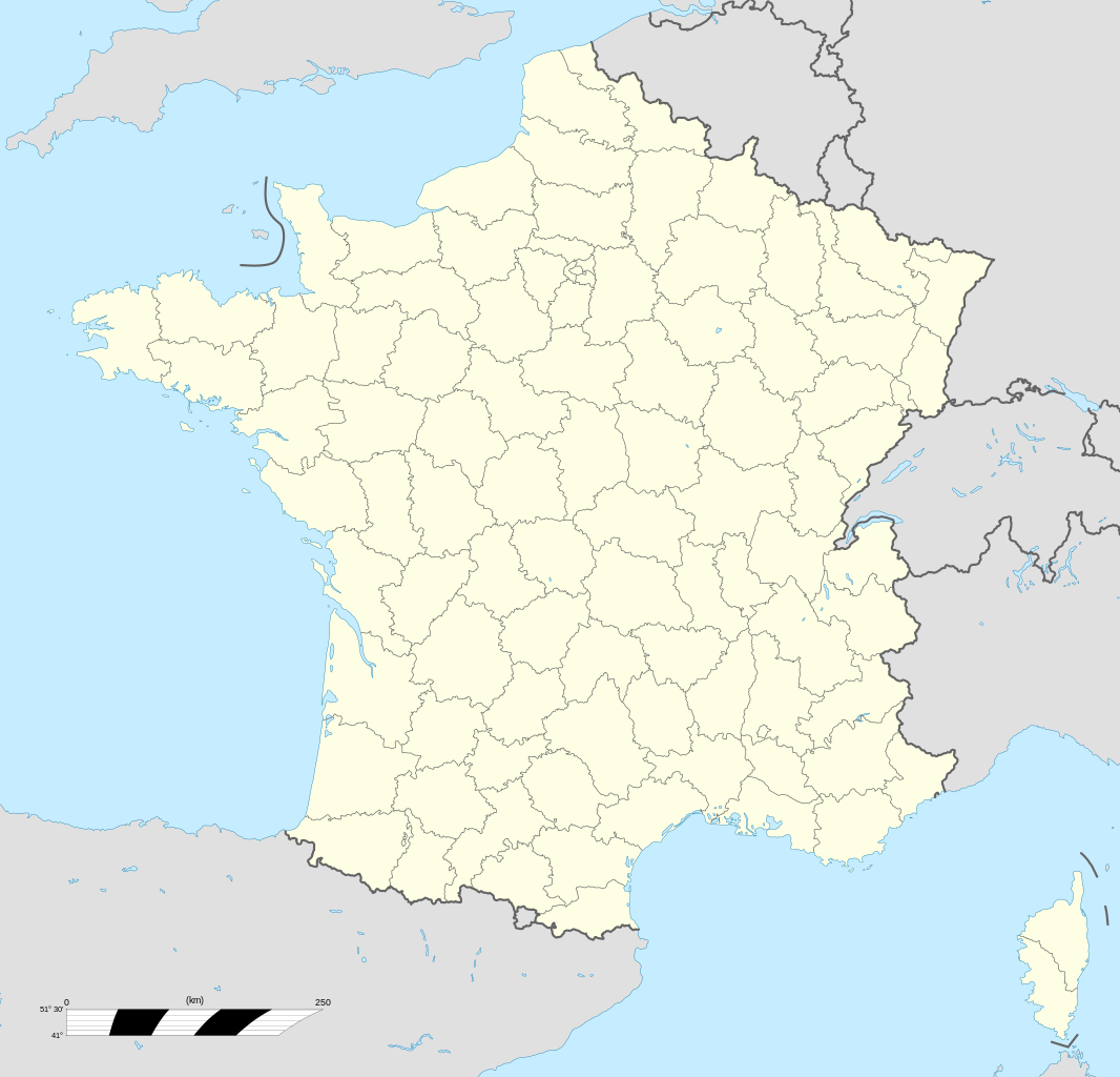
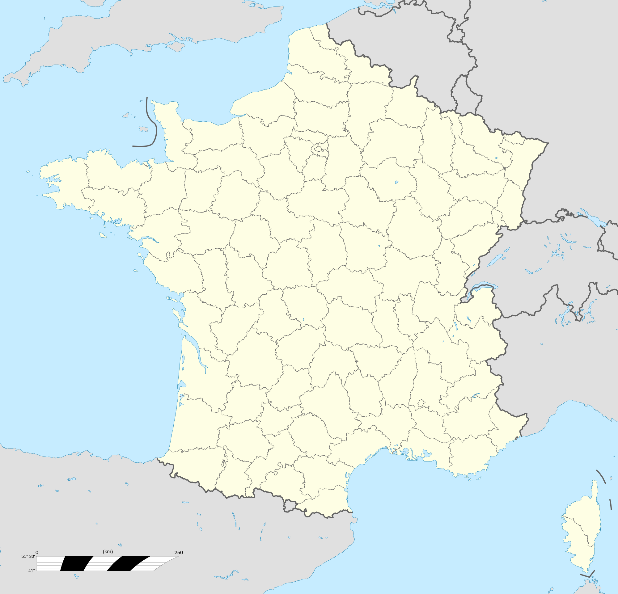
English: Blank administrative map of France for geo-location purpose, with departements.
Approximate scale : 1:3,000,000 Français : Carte administrative vierge de la France destinée à la géolocalisation, avec départements.
Échelle approximative : 1:3 000 000 Equirectangular projection, WGS84 datum
Geographic limits of the map :
|
||
| Data | |||
| Burimi |
Punë e juaja
|
||
| Autori | Eric Gaba (Sting - fr:Sting) | ||
| Leja (Ripërdor këtë skedë) |
|
||
| Versione tjera |
|
||
| SVG genesis |


.svg)
Licencim
Unë, krijuesi i kësaj pune, e publikoj këtu në bazë të licensës në vijim:

|
Ju jepet leje për ta kopjuar, shpërndarë dhe/ose ndryshuar këtë dokument sipas kushteve të Licencës GNU për Dokumentim të Lirë, versioni 1.2 ose çfarëdo versioni të mëpasshëm të botuar nga Free Software Foundation; pa Seksione të Pandryshueshme, pa Tekste Kapakësh të Përparmë, dhe pa Tekste Kapakësh të Pasmë. Një kopje e kësaj licence është përfshirë në seksionin e titulluar GNU Free Documentation License. |
This file is licensed under the Creative Commons Attribution-Share Alike Attribution-Share Alike 4.0 International, 3.0 Unported, 2.5 Generic, 2.0 Generic and 1.0 Generic license.
- Je i lirë të:
- ta shpërndani – ta kopjoni, rishpërndani dhe përcillni punën
- t’i bëni “remix” – të përshtatni punën
- Sipas kushteve të mëposhtme:
- atribuim – Duhet t’i jepni meritat e duhura, të siguroni një lidhje për tek licenca dhe të tregoni nëse janë bërë ndryshime. Këtë mund ta bëni në ndonjë mënyrë të arsyeshme, por jo në ndonjë mënyrë që sugjeron se licencuesi ju del zot juve apo përdorimit tuaj.
- share alike – Nëse bëni një “remix”, e shndërroni, ose ndërtoni duke u bazuar te materiali, duhet t’i shpërndani kontributet tuaja sipas të njëjtës licencë ose një të tille të përputhshme me origjinalen.
Mundeni të përzgjidhni licencën që doni.
Historiku skedës
Shtypni mbi një datë/kohë për ta parë skedën siç ishte atëherë.
| Data/Koha | Miniaturë | Përmasat | Përdoruesi | Koment | |
|---|---|---|---|---|---|
| e tanishme | 19 tetor 2017 15:53 | | 2.000 × 1.922 (783 KB) | Sting | No borders over the Lake of Constance |
| 7 nëntor 2008 15:19 |  | 2.000 × 1.922 (784 KB) | Sting | + boundary for Channel Islands | |
| 23 gusht 2008 18:37 |  | 2.000 × 1.922 (782 KB) | Sting | Larger strokes for boundaries | |
| 25 korrik 2008 19:53 |  | 2.000 × 1.922 (782 KB) | Sting | Variable scale | |
| 25 korrik 2008 16:38 |  | 2.000 × 1.922 (785 KB) | Sting | Other countries' color ; - border | |
| 4 korrik 2008 22:26 |  | 2.000 × 1.922 (785 KB) | Sting | == Summary == {{Location|46|15|00|N|02|06|00|E|scale:10000000}} <br/> {{Information |Description={{en|Blank administrative map of France for geo-location purpose, with departements.<br/>Approximate scale : 1:3,000,000}} {{fr|Carte administr |
Lidhje skedash
S’ka faqe që përdorin këtë kartelë.
Përdorimi global i skedës
Kjo skedë përdoret nga Wiki të tjera në vijim:
- Përdorimi në fr.wikipedia.org
- Përdorimi në fr.wikinews.org
- Përdorimi në pt.wikipedia.org