
Skeda:Granada-loc.svg

Size of this PNG preview of this SVG file: 512 × 452 pixel. Rezolucione të tjera: 272 × 240 pixel | 544 × 480 pixel | 870 × 768 pixel | 1.160 × 1.024 pixel | 2.320 × 2.048 pixel.
Dokument origjinal (skedë SVG, fillimisht 512 × 452 pixel, madhësia e skedës: 490 KB)
| Kjo skedë është prej Wikimedia Commons dhe mund të përdoret nga projekte të tjera. Përshkrimi në këtë skedë në këtë faqe nuk është treguar më poshtë. | Shko tek faqja përshkruese në Commons |
Përmbledhje
| Përshkrimi |
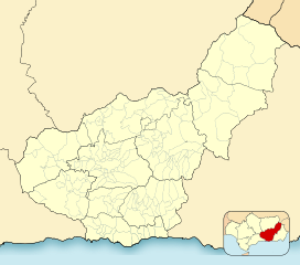
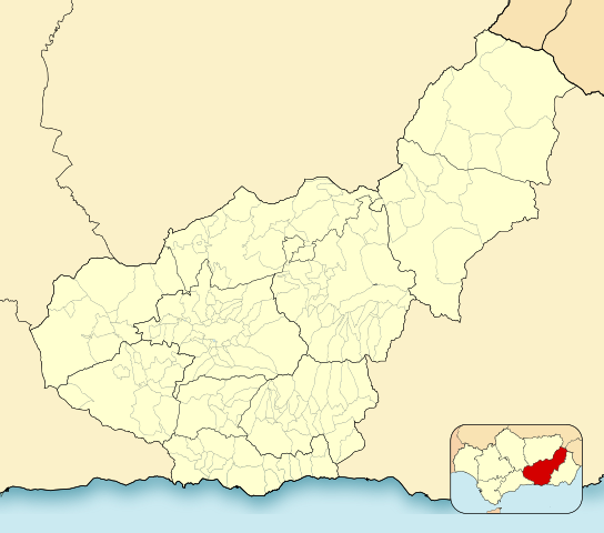
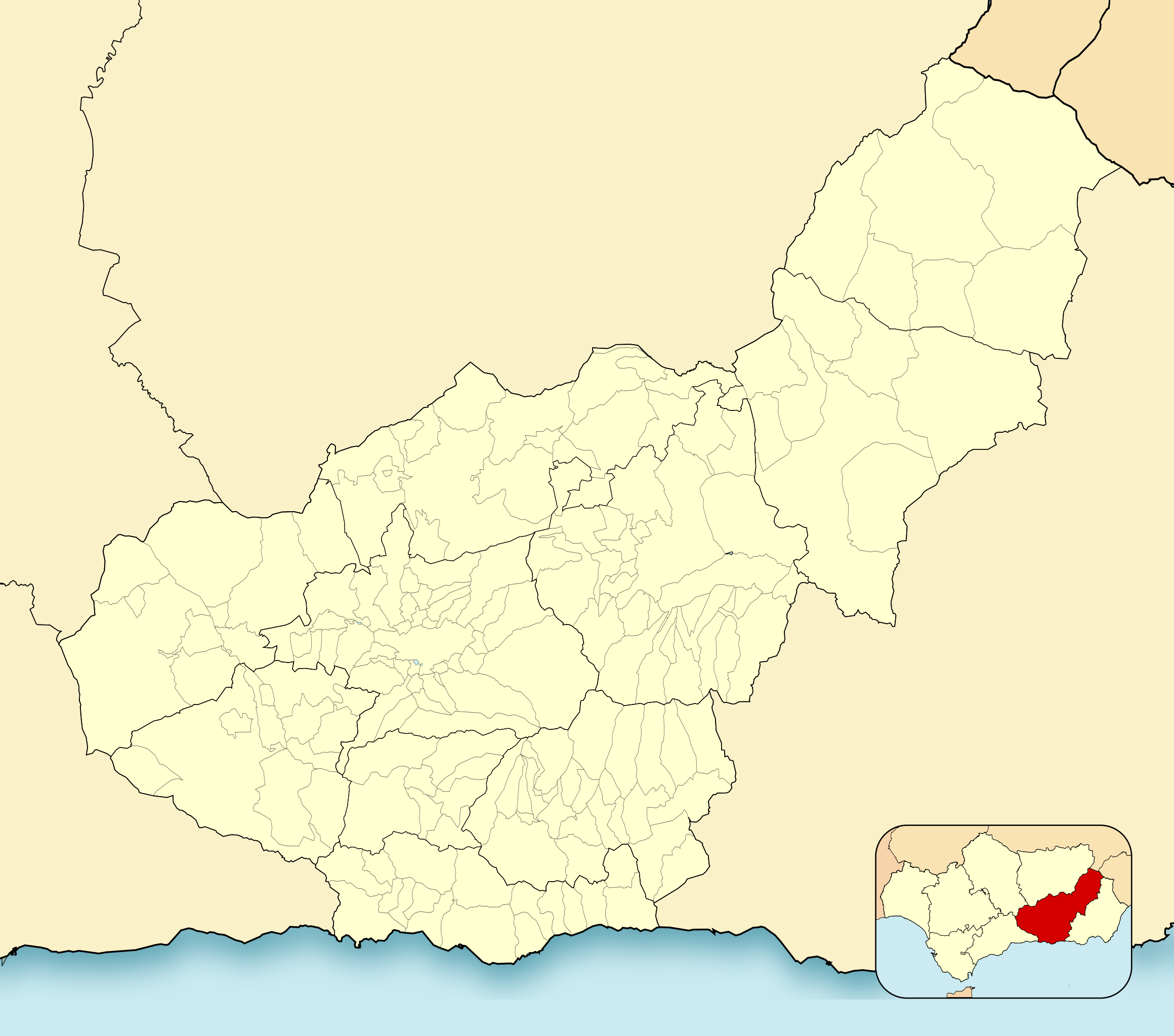
English: Location map of Province of Granada
Equirectangular projection, N/S stretching 130 %. Geographic limits of the map:
Español: Mapa de localización de la Provincia de Granada
Proyección equirrectangular, N/S estirada 130 %. Límites geográficos del mapa:
|
|
| Data | ||
| Burimi | Own work based on: EspañaLoc.svg by HansenBCN | |
| Autori | Miguillen | |
| SVG genesis | This locator map was created with Inkscape.
|
Licencim
Miguillen, krijuesi i kësaj pune, e publikon këtu në bazë të licensës në vijim:
Kjo skedë licencohet sipas Creative Commons Attribution-Share Alike 3.0 Unported.
Atribuim: Miguillen
- Je i lirë të:
- ta shpërndani – ta kopjoni, rishpërndani dhe përcillni punën
- t’i bëni “remix” – të përshtatni punën
- Sipas kushteve të mëposhtme:
- atribuim – Duhet t’i jepni meritat e duhura, të siguroni një lidhje për tek licenca dhe të tregoni nëse janë bërë ndryshime. Këtë mund ta bëni në ndonjë mënyrë të arsyeshme, por jo në ndonjë mënyrë që sugjeron se licencuesi ju del zot juve apo përdorimit tuaj.
- share alike – Nëse bëni një “remix”, e shndërroni, ose ndërtoni duke u bazuar te materiali, duhet t’i shpërndani kontributet tuaja sipas të njëjtës licencë ose një të tille të përputhshme me origjinalen.
Historiku skedës
Shtypni mbi një datë/kohë për ta parë skedën siç ishte atëherë.
| Data/Koha | Miniaturë | Përmasat | Përdoruesi | Koment | |
|---|---|---|---|---|---|
| e tanishme | 2 janar 2023 22:52 | | 512 × 452 (490 KB) | Lopezsuarez | Reverted to version as of 14:26, 6 April 2022 (UTC) |
| 2 janar 2023 22:51 |  | 512 × 452 (490 KB) | Lopezsuarez | Reverted to version as of 16:02, 9 December 2010 (UTC) | |
| 6 prill 2022 16:26 |  | 512 × 452 (490 KB) | Lopezsuarez | Reverted to version as of 16:04, 9 December 2010 (UTC) | |
| 4 prill 2022 13:38 |  | 512 × 452 (1,55 MB) | NACLE | quito el marco | |
| 4 prill 2022 13:35 |  | 512 × 452 (1,57 MB) | NACLE | añado nuevos municipios | |
| 9 dhjetor 2010 18:04 |  | 512 × 452 (490 KB) | Miguillen | defecto | |
| 9 dhjetor 2010 18:02 |  | 512 × 452 (490 KB) | Miguillen | colores y mosca según convención | |
| 14 gusht 2010 17:27 |  | 512 × 452 (390 KB) | Miguillen | marco | |
| 20 maj 2010 12:03 |  | 512 × 452 (356 KB) | Miguillen | efecto trazo | |
| 19 maj 2010 12:21 |  | 512 × 452 (354 KB) | Miguillen | == {{int:filedesc}} == {{Information |Description={{en|Location map of Province of Granada}} Equirectangular projection, N/S stretching 130 %. Geographic limits of the map: * N: ° N * S: ° N * W: ° O * E: ° O {{es|Mapa |
Lidhje skedash
S’ka faqe që përdorin këtë kartelë.
Përdorimi global i skedës
Kjo skedë përdoret nga Wiki të tjera në vijim:
- Përdorimi në ar.wikipedia.org
- Përdorimi në ba.wikipedia.org
- Përdorimi në ceb.wikipedia.org
- Përdorimi në de.wikipedia.org
- Përdorimi në en.wikipedia.org
- Sexi (Phoenician colony)
- Órgiva
- Bubión
- Motril
- Guadix
- Alhama de Granada
- Salobreña
- Jabalcón
- Santa Fe, Granada
- Albuñán
- Benalúa de las Villas
- Castril
- Las Gabias
- La Zubia
- Loja, Granada
- Veleta (Sierra Nevada)
- Galera, Granada
- Battle of Moclín (1280)
- Module:Location map/data/Spain Province of Granada/doc
- Torrenueva Costa
- Module:Location map/data/Spain Province of Granada
- Fornes, Granada
- Játar
- Përdorimi në eo.wikipedia.org
Shikoni më shumë përdorim global të kësaj skede.