
Skeda:Map of Oregon highlighting Curry County.svg

Size of this PNG preview of this SVG file: 800 × 596 pixel. Rezolucione të tjera: 320 × 239 pixel | 640 × 477 pixel | 1.024 × 764 pixel | 1.280 × 954 pixel | 2.560 × 1.909 pixel | 6.451 × 4.810 pixel.
Dokument origjinal (skedë SVG, fillimisht 6.451 × 4.810 pixel, madhësia e skedës: 136 KB)
| Kjo skedë është prej Wikimedia Commons dhe mund të përdoret nga projekte të tjera. Përshkrimi në këtë skedë në këtë faqe nuk është treguar më poshtë. | Shko tek faqja përshkruese në Commons |
Përmbledhje
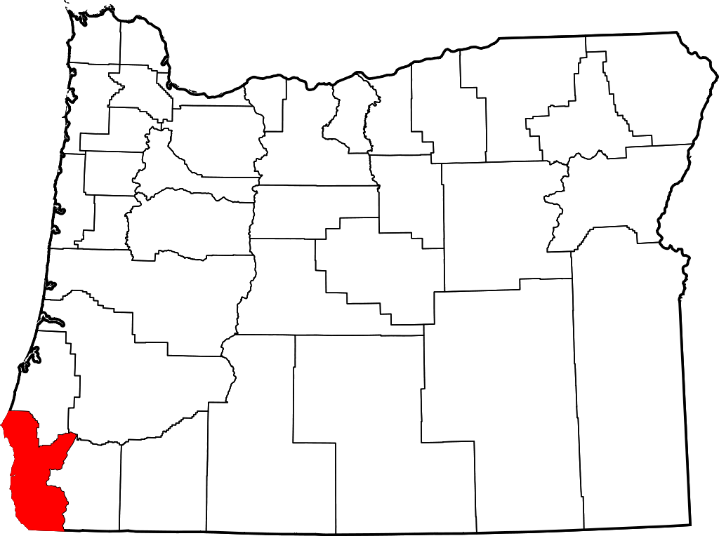
- Locator map of Curry County in southwestern Oregon.
David Benbennick made this map. For more information, see Commons:United States county locator maps.
| Unë,krijuesi i kësaj pune, e lëshoj këtë punë në public domain. Kjo aplikohet në të gjithë botën. Në disa vende kjo mund të mos jetë e mundur ligjërisht; nëse është kështu: Unë i garantoj çdokujt të drejtën për ta përdorur këtë punë për çdo qëllim, pa asnjë kusht, përveç rasteve kur këto kushte janë të kërkuara nga ligji. |
Historiku skedës
Shtypni mbi një datë/kohë për ta parë skedën siç ishte atëherë.
| Data/Koha | Miniaturë | Përmasat | Përdoruesi | Koment | |
|---|---|---|---|---|---|
| e tanishme | 12 shkurt 2006 18:16 | | 6.451 × 4.810 (136 KB) | David Benbennick | {{subst:User:Dbenbenn/clm|county=Curry County|state=Oregon|type=county}} |
Lidhje skedash
S’ka faqe që përdorin këtë kartelë.
Përdorimi global i skedës
Kjo skedë përdoret nga Wiki të tjera në vijim:
- Përdorimi në ar.wikipedia.org
- Përdorimi në bg.wikipedia.org
- Përdorimi në bpy.wikipedia.org
- Përdorimi në ca.wikipedia.org
- Përdorimi në cdo.wikipedia.org
- Përdorimi në ceb.wikipedia.org
- Përdorimi në ce.wikipedia.org
- Përdorimi në cy.wikipedia.org
- Përdorimi në de.wikipedia.org
- Përdorimi në en.wikipedia.org
- List of counties in Oregon
- Curry County, Oregon
- Brookings, Oregon
- Gold Beach, Oregon
- Harbor, Oregon
- Port Orford, Oregon
- Confederated Tribes of Coos, Lower Umpqua and Siuslaw Indians
- Langlois, Oregon
- Agness, Oregon
- Carpenterville, Oregon
- Pistol River, Oregon
- Sixes, Oregon
- Wedderburn, Oregon
- Template:Curry County, Oregon
- Nesika Beach, Oregon
- User:Nyttend/County templates/OR
- Ophir, Oregon
- National Register of Historic Places listings in Curry County, Oregon
- User:Lhammer610/Sandbox
- Ophir Beach
- Barley Beach
- Illahe, Oregon
- Marial, Oregon
- Denmark, Oregon
- Category:Populated places in Curry County, Oregon
- Bagnell Ferry, Oregon
- Plum Trees, Oregon
- Hunter Creek, Oregon
- Frankport, Oregon
Shikoni më shumë përdorim global të kësaj skede.