
Skeda:Liechtenstein location map.svg

Size of this PNG preview of this SVG file: 565 × 600 pixel. Rezolucione të tjera: 226 × 240 pixel | 452 × 480 pixel | 723 × 768 pixel | 965 × 1.024 pixel | 1.929 × 2.048 pixel | 568 × 603 pixel.
Dokument origjinal (skedë SVG, fillimisht 568 × 603 pixel, madhësia e skedës: 165 KB)
| Kjo skedë është prej Wikimedia Commons dhe mund të përdoret nga projekte të tjera. Përshkrimi në këtë skedë në këtë faqe nuk është treguar më poshtë. | Shko tek faqja përshkruese në Commons |
Përmbledhje
| Përshkrimi |
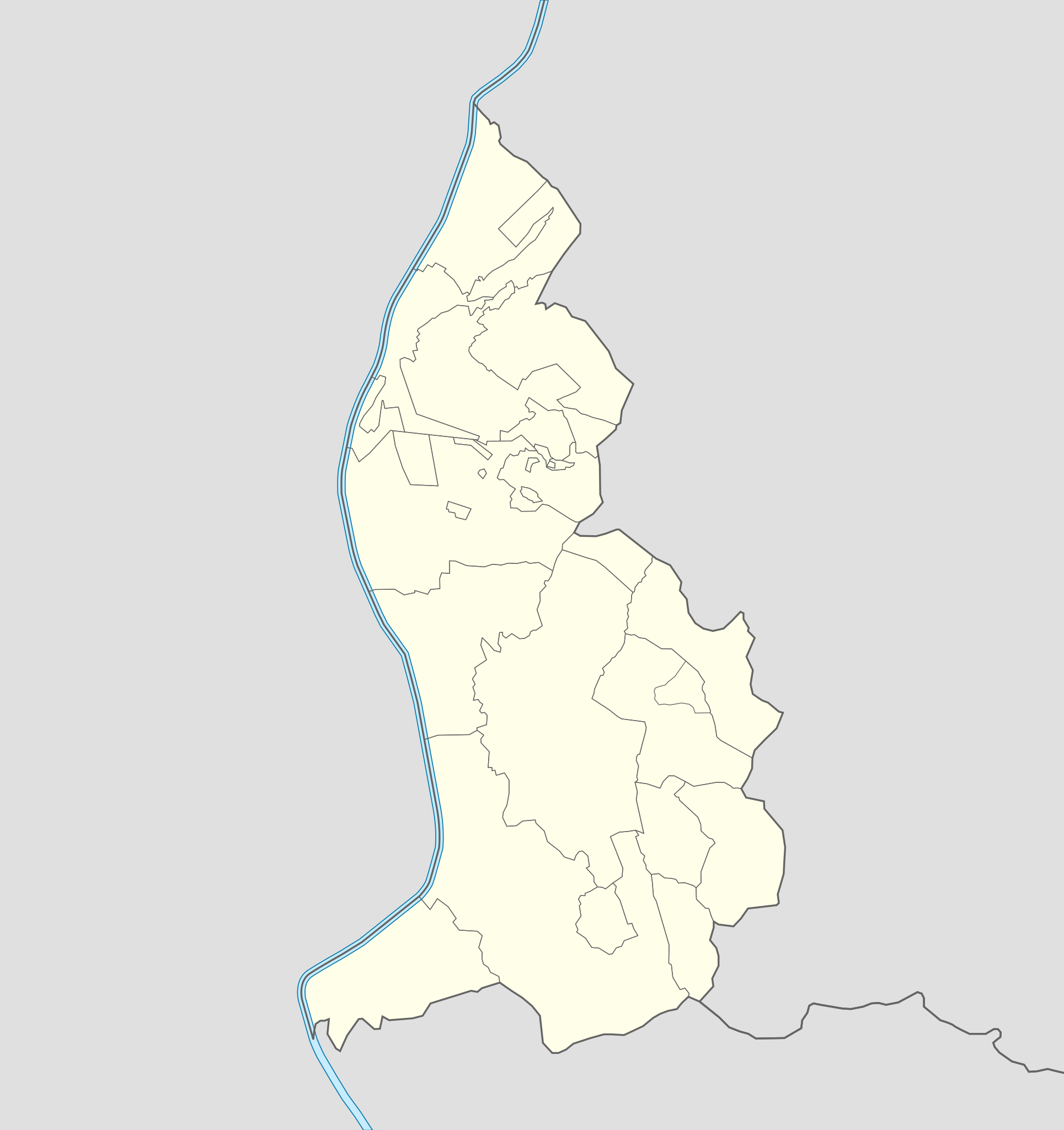
Deutsch: Positionskarte von Liechtenstein
Quadratische Plattkarte. Geographische Begrenzung der Karte:
English: Location map of Liechtenstein
Equirectangular projection. Geographic limits of the map:
|
||
| Data | 07-09-2008 | ||
| Burimi | own work, using Liechtenstein-Planken.svg by William Shewring | ||
| Autori | Maximilian Dörrbecker (Chumwa) | ||
| Leja (Ripërdor këtë skedë) |
Unë, krijuesi i kësaj pune, e publikoj këtu në bazë të licensës në vijim:
Kjo skedë licencohet sipas Creative Commons Attribution-Share Alike 3.0 Unported.
Mundeni të përzgjidhni licencën që doni. |


|
This map has been made or improved in the German Kartenwerkstatt (Map Lab). You can propose maps to improve as well.
|
Historiku skedës
Shtypni mbi një datë/kohë për ta parë skedën siç ishte atëherë.
| Data/Koha | Miniaturë | Përmasat | Përdoruesi | Koment | |
|---|---|---|---|---|---|
| e tanishme | 29 shtator 2013 08:15 | | 568 × 603 (165 KB) | Chumwa | corr |
| 27 shtator 2013 22:35 |  | 568 × 603 (80 KB) | Chumwa | corr | |
| 22 shtator 2008 18:52 |  | 568 × 604 (202 KB) | Chumwa | Flächenfarbe der "anderen Staaten" korrigiert | |
| 7 shtator 2008 12:19 |  | 568 × 604 (202 KB) | Chumwa | um bereits existierendes Breite-Höhe-Verhältnis wiederherzustellen... | |
| 7 shtator 2008 11:34 |  | 435 × 807 (202 KB) | Chumwa | == Beschreibung == {{Information |Description= {{de|Positionskarte von Liechtenstein}} Quadratische Plattkarte. Geographische Begrenzung der Karte: * N: 47.30° N * S: 47.03° N * W: 9.45° O * O: 9.67° O {{en|Location map of [[:de: |
Lidhje skedash
Këto faqe lidhen tek kjo skedë:
Përdorimi global i skedës
Kjo skedë përdoret nga Wiki të tjera në vijim:
- Përdorimi në af.wikipedia.org
- Përdorimi në als.wikipedia.org
- Përdorimi në an.wikipedia.org
- Vaduz
- Schaan
- Triesenberg
- Planken
- Balzers
- Triesen
- Schellenberg
- Ruggell
- Mauren
- Eschen
- Gamprin
- Bendern
- Plantilla:Mapa de localización Liechtenstein
- Nendeln
- Schaanwald
- Mäls
- Mühleholz
- Hinterschellenberg
- Ebenholz
- Gaflei
- Malbun
- Steg (Liechtenstein)
- Silum
- Masescha
- Rotenboden
- Samina (Liechtenstein)
- Wangerberg
- Sücka
- Përdorimi në ar.wikipedia.org
- Përdorimi në ast.wikipedia.org
Shikoni më shumë përdorim global të kësaj skede.