
Skeda:Romania location map.svg

Size of this PNG preview of this SVG file: 800 × 572 pixel. Rezolucione të tjera: 320 × 229 pixel | 640 × 458 pixel | 1.024 × 732 pixel | 1.280 × 915 pixel | 2.560 × 1.831 pixel | 1.611 × 1.152 pixel.
Dokument origjinal (skedë SVG, fillimisht 1.611 × 1.152 pixel, madhësia e skedës: 194 KB)
| Kjo skedë është prej Wikimedia Commons dhe mund të përdoret nga projekte të tjera. Përshkrimi në këtë skedë në këtë faqe nuk është treguar më poshtë. | Shko tek faqja përshkruese në Commons |
Përmbledhje
| Përshkrimi |
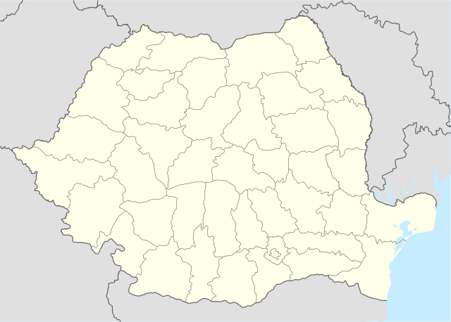
Deutsch: Positionskarte von Rumänien
Quadratische Plattkarte, N-S-Streckung 140 %. Geographische Begrenzung der Karte:
English: Location map of Romania
Equirectangular projection, N/S stretching 140 %. Geographic limits of the map:
|
| Data | |
| Burimi | own work, using United States National Imagery and Mapping Agency data |
| Autori | NordNordWest |
| Versione tjera |
|


|
This map has been made or improved in the German Kartenwerkstatt (Map Lab). You can propose maps to improve as well.
|
Licencim
Unë, krijuesi i kësaj pune, e publikoj këtu në bazë të licensës në vijim:

|
Ju jepet leje për ta kopjuar, shpërndarë dhe/ose ndryshuar këtë dokument sipas kushteve të Licencës GNU për Dokumentim të Lirë, versioni 1.2 ose çfarëdo versioni të mëpasshëm të botuar nga Free Software Foundation; pa Seksione të Pandryshueshme, pa Tekste Kapakësh të Përparmë, dhe pa Tekste Kapakësh të Pasmë. Një kopje e kësaj licence është përfshirë në seksionin e titulluar GNU Free Documentation License. |
Kjo skedë licencohet sipas Creative Commons Attribution-Share Alike 3.0 Unported.
- Je i lirë të:
- ta shpërndani – ta kopjoni, rishpërndani dhe përcillni punën
- t’i bëni “remix” – të përshtatni punën
- Sipas kushteve të mëposhtme:
- atribuim – Duhet t’i jepni meritat e duhura, të siguroni një lidhje për tek licenca dhe të tregoni nëse janë bërë ndryshime. Këtë mund ta bëni në ndonjë mënyrë të arsyeshme, por jo në ndonjë mënyrë që sugjeron se licencuesi ju del zot juve apo përdorimit tuaj.
- share alike – Nëse bëni një “remix”, e shndërroni, ose ndërtoni duke u bazuar te materiali, duhet t’i shpërndani kontributet tuaja sipas të njëjtës licencë ose një të tille të përputhshme me origjinalen.
Mundeni të përzgjidhni licencën që doni.
Historiku skedës
Shtypni mbi një datë/kohë për ta parë skedën siç ishte atëherë.
| Data/Koha | Miniaturë | Përmasat | Përdoruesi | Koment | |
|---|---|---|---|---|---|
| e tanishme | 5 mars 2022 23:51 | | 1.611 × 1.152 (194 KB) | Flagvisioner | Reverted to version as of 11:40, 6 June 2019 (UTC) |
| 22 shkurt 2022 07:54 |  | 1.611 × 1.152 (409 KB) | Turbo Slayer 2021 | Coastline | |
| 6 qershor 2019 13:40 |  | 1.611 × 1.152 (194 KB) | RHaworth | Smaller version. The larger version is not "very accurate": it just contains 200k bytes of spurious precision. | |
| 2 tetor 2012 14:31 |  | 1.611 × 1.152 (409 KB) | Palosirkka | Reverted to version as of 17:18, 5 September 2008 Location maps must remain very accurate | |
| 2 tetor 2012 13:13 |  | 1.611 × 1.152 (203 KB) | Palosirkka | Scrubbed with http://codedread.com/scour/ | |
| 5 shtator 2008 19:18 |  | 1.611 × 1.152 (409 KB) | NordNordWest | ||
| 2 shtator 2008 10:52 |  | 1.611 × 1.152 (408 KB) | NordNordWest | ||
| 7 korrik 2008 17:48 |  | 806 × 576 (386 KB) | NordNordWest | {{Information |Description= {{de|Positionskarte von Rumänien}} Quadratische Plattkarte, N-S-Streckung 140 %. Geographische Begrenzung der Karte: * N: 48.5° N * S: 43.4° N * W: 20.0° O * O: 30.0° O {{en|Location map of [[:en:Romania| |
Lidhje skedash
Këto faqe lidhen tek kjo skedë:
Përdorimi global i skedës
Kjo skedë përdoret nga Wiki të tjera në vijim:
- Përdorimi në af.wikipedia.org
- Përdorimi në als.wikipedia.org
- Përdorimi në an.wikipedia.org
- Përdorimi në ar.wikipedia.org
- Përdorimi në ast.wikipedia.org
Shikoni më shumë përdorim global të kësaj skede.