
Skeda:Saint George Alaska aerial view.jpg
Madhësia e këtij shikimi: 800 × 531 pixel. Rezolucione të tjera: 320 × 212 pixel | 640 × 425 pixel | 1.024 × 680 pixel | 1.500 × 996 pixel.
Dokument origjinal ((përmasa 1.500 × 996 px, madhësia skedës: 419 KB, lloji MIME: image/jpeg))
| Kjo skedë është prej Wikimedia Commons dhe mund të përdoret nga projekte të tjera. Përshkrimi në këtë skedë në këtë faqe nuk është treguar më poshtë. | Shko tek faqja përshkruese në Commons |
| Përshkrimi |
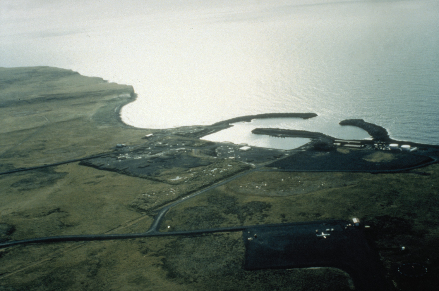
English: Aerial view of St. George, Alaska. |
|||
| Location | St. George Island, Alaska, USA | |||
| Data | not specified or unknown | |||
| Burimi |
U.S. Army Corps of Engineers Digital Visual Library Image page Image description page Digital Visual Library home page |
|||
| Autori | U.S. Army Corps of Engineers, photographer not specified or unknown | |||
| Leja (Ripërdor këtë skedë) |
|
| Object location | | View this and other nearby images on: OpenStreetMap |
|---|
Historiku skedës
Shtypni mbi një datë/kohë për ta parë skedën siç ishte atëherë.
| Data/Koha | Miniaturë | Përmasat | Përdoruesi | Koment | |
|---|---|---|---|---|---|
| e tanishme | 20 mars 2007 05:26 | | 1.500 × 996 (419 KB) | DanMS | {{Information | Description = Aerial view of St. George, Alaska. | Source = U.S. Army Corps of Engineers Digital Visual Library<br />[http://images.usace.army.mil/images/Hires/4414-25.Jpg Image page]<br />[http://images.usace.army.mil/scripts/P |
Lidhje skedash
Këto faqe lidhen tek kjo skedë:
Përdorimi global i skedës
Kjo skedë përdoret nga Wiki të tjera në vijim:
- Përdorimi në ar.wikipedia.org
- Përdorimi në arz.wikipedia.org
- Përdorimi në ast.wikipedia.org
- Përdorimi në azb.wikipedia.org
- Përdorimi në ca.wikipedia.org
- Përdorimi në ceb.wikipedia.org
- Përdorimi në ce.wikipedia.org
- Përdorimi në de.wikipedia.org
- Përdorimi në en.wikipedia.org
- Përdorimi në en.wikivoyage.org
- Përdorimi në es.wikipedia.org
- Përdorimi në eu.wikipedia.org
- Përdorimi në fa.wikipedia.org
- Përdorimi në fi.wikipedia.org
- Përdorimi në fr.wikipedia.org
- Përdorimi në ht.wikipedia.org
- Përdorimi në it.wikipedia.org
- Përdorimi në ja.wikipedia.org
- Përdorimi në lld.wikipedia.org
- Përdorimi në mg.wikipedia.org
- Përdorimi në ml.wikipedia.org
- Përdorimi në nl.wikipedia.org
- Përdorimi në no.wikipedia.org
- Përdorimi në pl.wikipedia.org
- Përdorimi në ro.wikipedia.org
- Përdorimi në ru.wikipedia.org
- Përdorimi në sh.wikipedia.org
- Përdorimi në sr.wikipedia.org
- Përdorimi në tly.wikipedia.org
- Përdorimi në tt.wikipedia.org
- Përdorimi në uk.wikipedia.org
- Përdorimi në ur.wikipedia.org
- Përdorimi në uz.wikipedia.org
- Përdorimi në www.wikidata.org