
Skeda:Spain location map.svg

Size of this PNG preview of this SVG file: 699 × 600 pixel. Rezolucione të tjera: 280 × 240 pixel | 559 × 480 pixel | 895 × 768 pixel | 1.193 × 1.024 pixel | 2.387 × 2.048 pixel | 1.184 × 1.016 pixel.
Dokument origjinal (skedë SVG, fillimisht 1.184 × 1.016 pixel, madhësia e skedës: 536 KB)
| Kjo skedë është prej Wikimedia Commons dhe mund të përdoret nga projekte të tjera. Përshkrimi në këtë skedë në këtë faqe nuk është treguar më poshtë. | Shko tek faqja përshkruese në Commons |
Përmbledhje
| Përshkrimi |
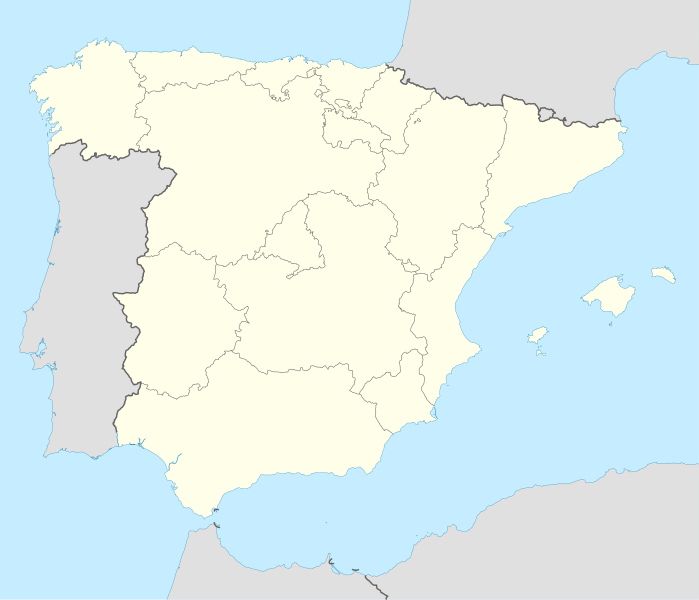
Deutsch: Positionskarte von Spanien
Quadratische Plattkarte, N-S-Streckung 130 %. Geographische Begrenzung der Karte:
English: Location map of Spain
Equirectangular projection, N/S stretching 130 %. Geographic limits of the map:
|
||
| Data | |||
| Burimi | Punë e juaja | ||
| Autori | NordNordWest | ||
| Versione tjera |
Derivative works of this file: |
||
| SVG genesis | This locator map was created with Inkscape by NordNordWest.
|

Licencim
Unë, krijuesi i kësaj pune, e publikoj këtu në bazë të licensës në vijim:

|
Ju jepet leje për ta kopjuar, shpërndarë dhe/ose ndryshuar këtë dokument sipas kushteve të Licencës GNU për Dokumentim të Lirë, versioni 1.2 ose çfarëdo versioni të mëpasshëm të botuar nga Free Software Foundation; pa Seksione të Pandryshueshme, pa Tekste Kapakësh të Përparmë, dhe pa Tekste Kapakësh të Pasmë. Një kopje e kësaj licence është përfshirë në seksionin e titulluar GNU Free Documentation License. |
Kjo skedë licencohet sipas Creative Commons Attribution-Share Alike 3.0 Unported.
- Je i lirë të:
- ta shpërndani – ta kopjoni, rishpërndani dhe përcillni punën
- t’i bëni “remix” – të përshtatni punën
- Sipas kushteve të mëposhtme:
- atribuim – Duhet t’i jepni meritat e duhura, të siguroni një lidhje për tek licenca dhe të tregoni nëse janë bërë ndryshime. Këtë mund ta bëni në ndonjë mënyrë të arsyeshme, por jo në ndonjë mënyrë që sugjeron se licencuesi ju del zot juve apo përdorimit tuaj.
- share alike – Nëse bëni një “remix”, e shndërroni, ose ndërtoni duke u bazuar te materiali, duhet t’i shpërndani kontributet tuaja sipas të njëjtës licencë ose një të tille të përputhshme me origjinalen.
Mundeni të përzgjidhni licencën që doni.
Historiku skedës
Shtypni mbi një datë/kohë për ta parë skedën siç ishte atëherë.
| Data/Koha | Miniaturë | Përmasat | Përdoruesi | Koment | |
|---|---|---|---|---|---|
| e tanishme | 7 korrik 2008 16:23 | | 1.184 × 1.016 (536 KB) | NordNordWest | |
| 4 korrik 2008 15:58 |  | 1.184 × 1.016 (785 KB) | NordNordWest | corrected | |
| 4 korrik 2008 15:54 |  | 1.184 × 1.016 (791 KB) | NordNordWest | {{Information |Description= {{de|Positionskarte von Spanien}} Quadratische Plattkarte, N-S-Streckung 130 %. Geographische Begrenzung der Karte: * N: 44.4° N * S: 34.7° N * W: 9.9° W * O: 4.8° O {{en|Location map of Spain} |
Lidhje skedash
Këto faqe lidhen tek kjo skedë:
Përdorimi global i skedës
Kjo skedë përdoret nga Wiki të tjera në vijim:
- Përdorimi në ace.wikipedia.org
- Përdorimi në af.wikipedia.org
- Cadaqués
- Alt Empordà
- Almazán
- Ágreda
- San Leonardo de Yagüe
- Abejar
- Adradas
- Alconaba
- Alcubilla de las Peñas
- Aldealafuente
- Alcubilla de Avellaneda
- Aldealices
- Almajano
- Yelo
- Aldealpozo
- Aldealseñor
- Alentisque
- Aliud
- Almaluez
- Almarza
- Cubilla
- Covaleda
- Ciria
- Cigudosa
- Dévanos
- Cihuela
- Coscurita
- Barca
- Nepas
- Nolay
- Noviercas
- Liceras
- La Losilla
- Portillo de Soria
- Oncala
- Ólvega
- Rioseco de Soria
- La Riba de Escalote
- Renieblas
- Quintana Redonda
- Los Rábanos
- Recuerda
- Rebollar
- Almazul
- Baraona
- Blacos
- Calatañazor
- Candilichera
Shikoni më shumë përdorim global të kësaj skede.